During the European Week of Cities and Regions 2018, organised in Brussels, on 9-11 October 2018, a session focused on the relevance of fact-based reports and tools produced for analysing macro-regions. The aim was to discuss how could such products contribute to better macro-regional cooperation and knowledge sharing and what are the policy implications.
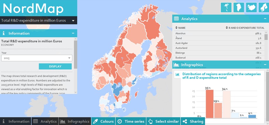
One of the examples given was the methodology and cooperation used to produce the State of the Nordic Region, a biannual report from Nordregio for the Nordic Council of Ministers. Nordregio has developed an interactive mapping tool, free and available at www.nordmap.org.

This mapping tool enables anyone to compare regions and municipalities in Denmark, Faroe Islands, Finland, Greenland, Iceland, Norway, Sweden and Åland when it comes to wide range of economic, demographic and social indicators (i.e. ageing population, labour force, gender ratio, regional potential index, etc.). Analytics, time series and infographics also complete the mapping tool.
A map of the urban-rural typology is available, although it is worth noting the platform can’t cross-reference data yet, so it is not possible for instance to show regional disparities depending on the territorial disparity.
25 October 2018


